
Final Project
Course Work
Year
2025
Responsabilities
Led independently from concept to public exhibition, spanning research, interaction design, and technical development.
Tools
Figma
Google Forms
TouchDesigner
After Effects
DaVinci Resolve
Atlas.TI
QGIS
Python
Methods
Interviews
Media Analysis
Survey
Urban scanning
Ethnography
Personas
User journey
Usability testing
Affinity mapping
GIS analysis
Overview
An interactive speculative installation that makes the invisible governance of London's Privately Owned Public Spaces (POPS) legible to the public.
Context
London has at least 57 documented areas that present as public but are privately owned. Owners of these areas may create their own rules for the spaces, which visitors automatically agree to by visitng them. These include banning rough sleeping, public demonstrations, installations and allowing for data collection.
Research showed students and ex-residents are most aware of private ownership through security presence, environmental design, and exclusion.
Using a speculative face-scan interaction, I attempt to make the issue more visible. The piece determines whether visitors are permitted to enter three real London sites: Elephant Park, Canary Wharf, and King's Cross Estate.
What is POPS?
POPS present as public space, resembling parks, squares, and walkways, but are privately owned and governed, meaning access rules are often invisible and unaccountable. Research identified that this control is mainly experienced atmospherically, through security presence, environmental design cues, signage and vague rules. Edge cases were found where activists or urban explorers were explicitly banned from these areas.
Scope
The project was initially scoped across six POPS sites, then reduced to three, Elephant Park, Canary Wharf, and King's Cross, based on interview and observational data, prioritising depth and clarity of experience over breadth of coverage.
Process
Approach
I took an abductive, grounded theory approach to research, utilising existing theory to conduct research, while narrowing scope and research question inductively.
Media Analysis
Reviewed academic sources, journalism, and a since-restricted public POPS GIS dataset to establish how privately owned public space is discussed and documented, and to build a working list of London's POPS sites.
Survey
A survey to gauge general public awareness of privately owned public spaces (POPS) with 63 respondents recruited through convenience, random and snowball sampling.
88% of respondents didn't know POPS are privately owned
None had seen the rules of any POPS
Respondents were most likely to associate "privateness" with visual cues.(e.g. fencing, CCTV, signage)
Interviews
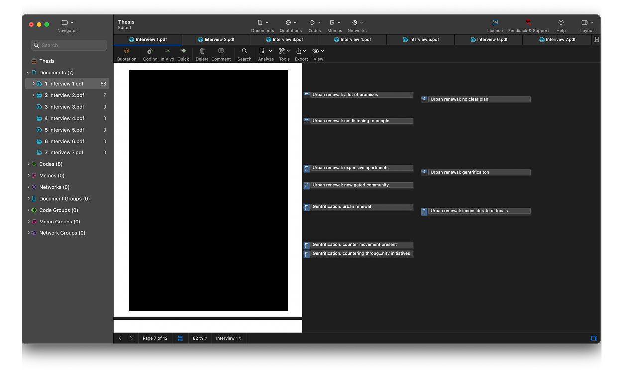
Conducted seven interviews with students, ex-residents and a vendor to understand how private governance is actually experienced. Interviewees were given consent forms and interviews were coded in Atlas.TI.
Awareness comes through atmospgeric cues
Displacement due to urban renewal initiated by new owners
Surveillance as an atmospheric condition
Map Workshop
Participants were given a map of London showing only borough outlines and asked to point to areas they found appealing or unappealing and explain why. This surfaced how people relate to space emotionally and experientially, and tested whether they naturally associate the places they visit with formal boroughs.
Urban Scanning
On-site scans of the shortlisted POPS sites to observe and document the physical markers of private control in situ. Security presence, signage, and environmental design were the main focus, validating and grounding the interview findings against real conditions. An AEIOU approach was used for scanning: Activities, Environemnt, Interactions, Objects, Users.

The Design
Approach
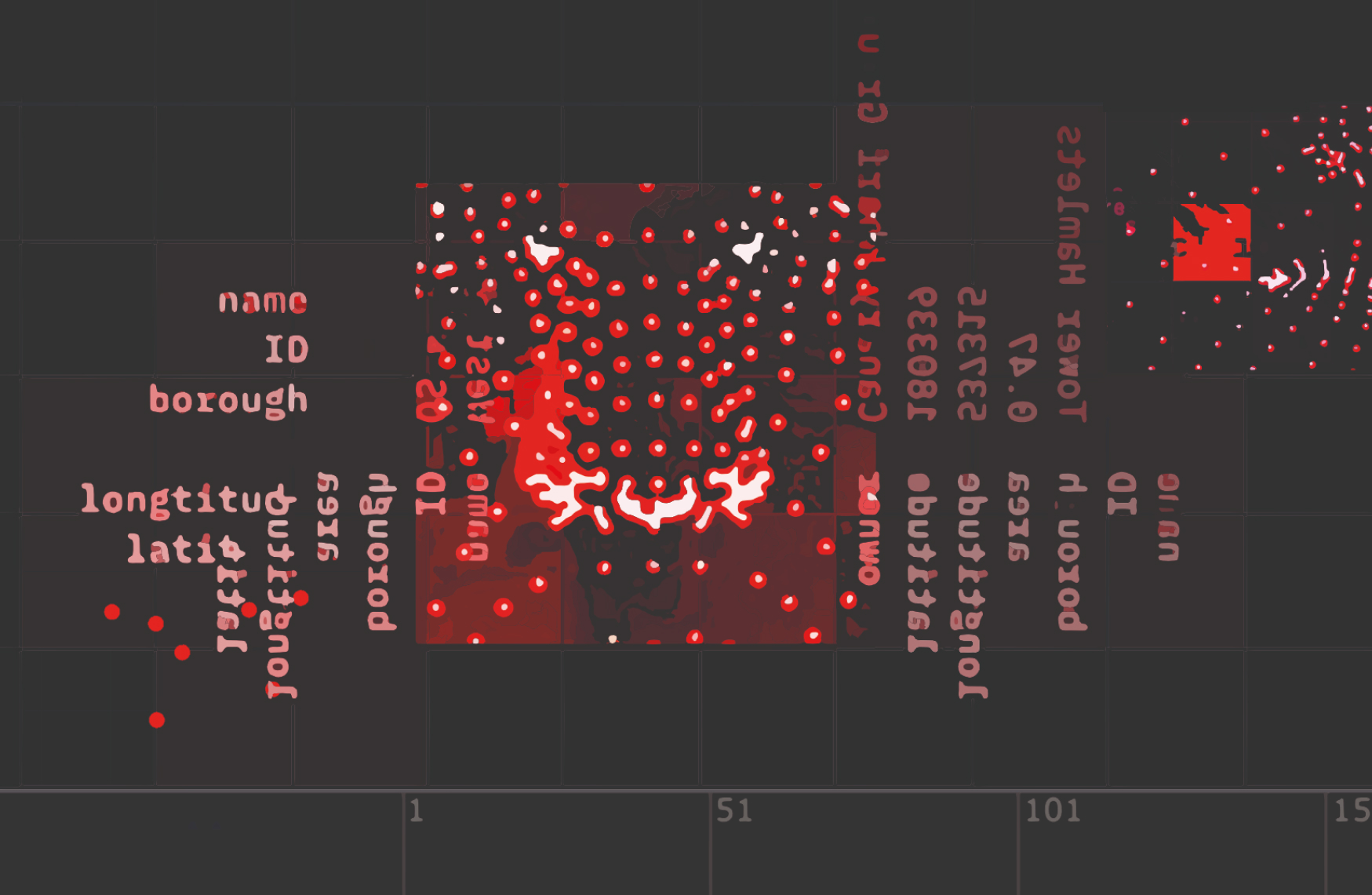
The interaction was built end-to-end in TouchDesigner, incorporating face landamark detection, a command-line-style interface displaying live POPS data such as owner, borough, and coordinates via custom Python scripts, and a restriction sequence using custom Google Earth and Maps footage.
DaVinci Resolve and After Effects were used interchangeably for infographic and map video sequences.

The Infographic
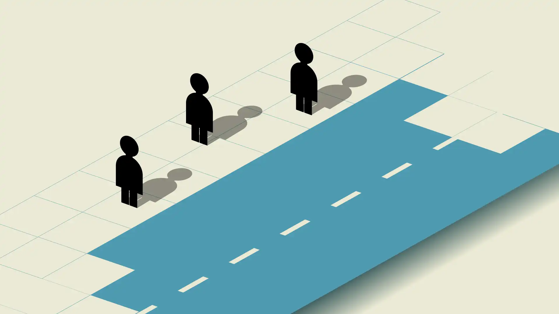
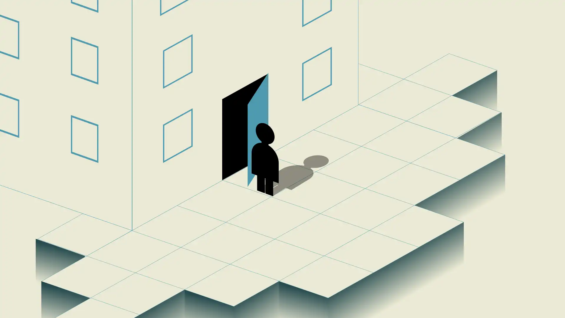
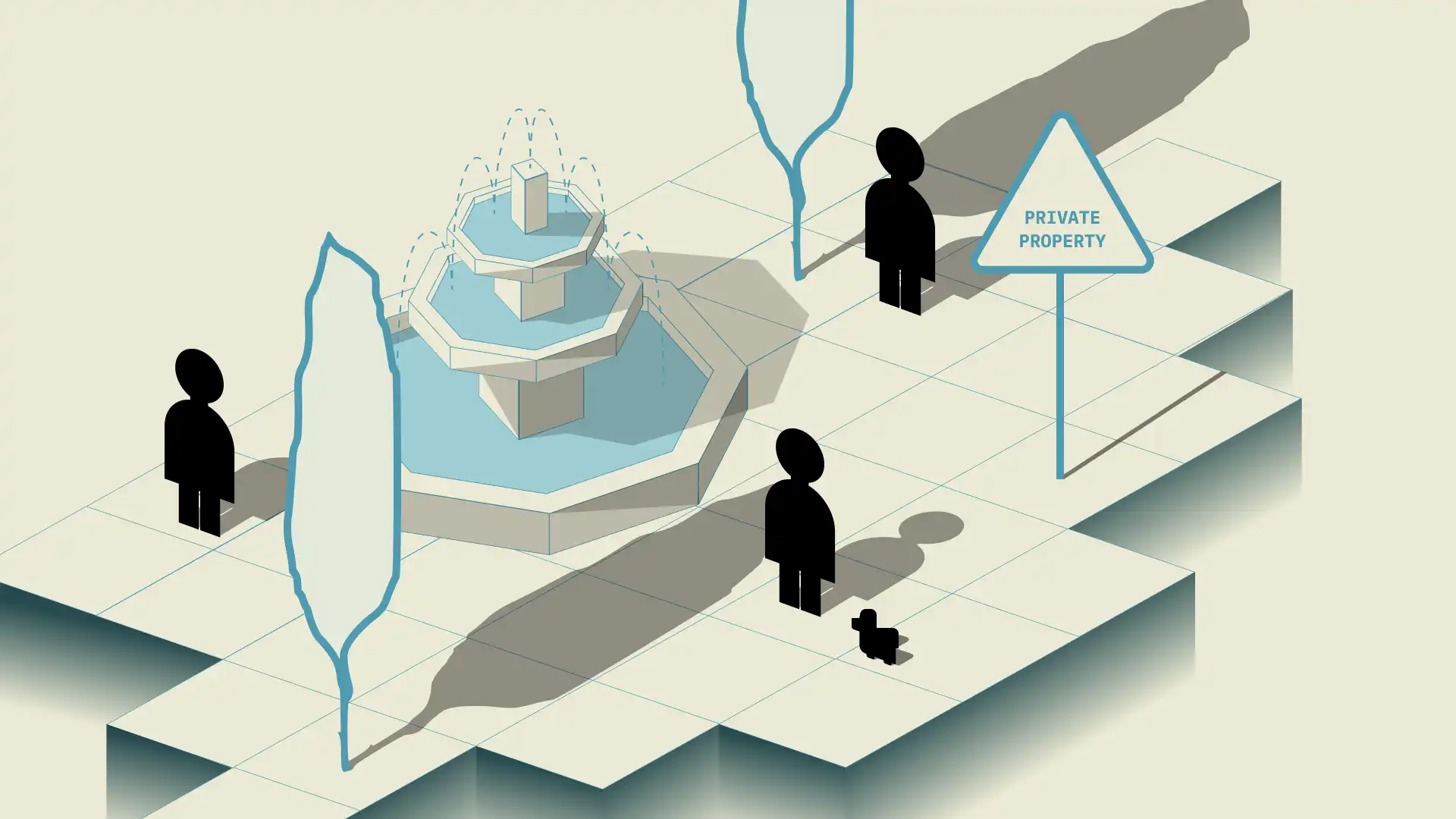
A looping infographic to inform of the three key types of spaces (public, private and POPS) with a call-to action and a button to start the interaction. The infographic was storyboarded in figma and animated in AfterEffects. The game Portal 2 was used as inspiration for the art direction.


Face Scan Sequence
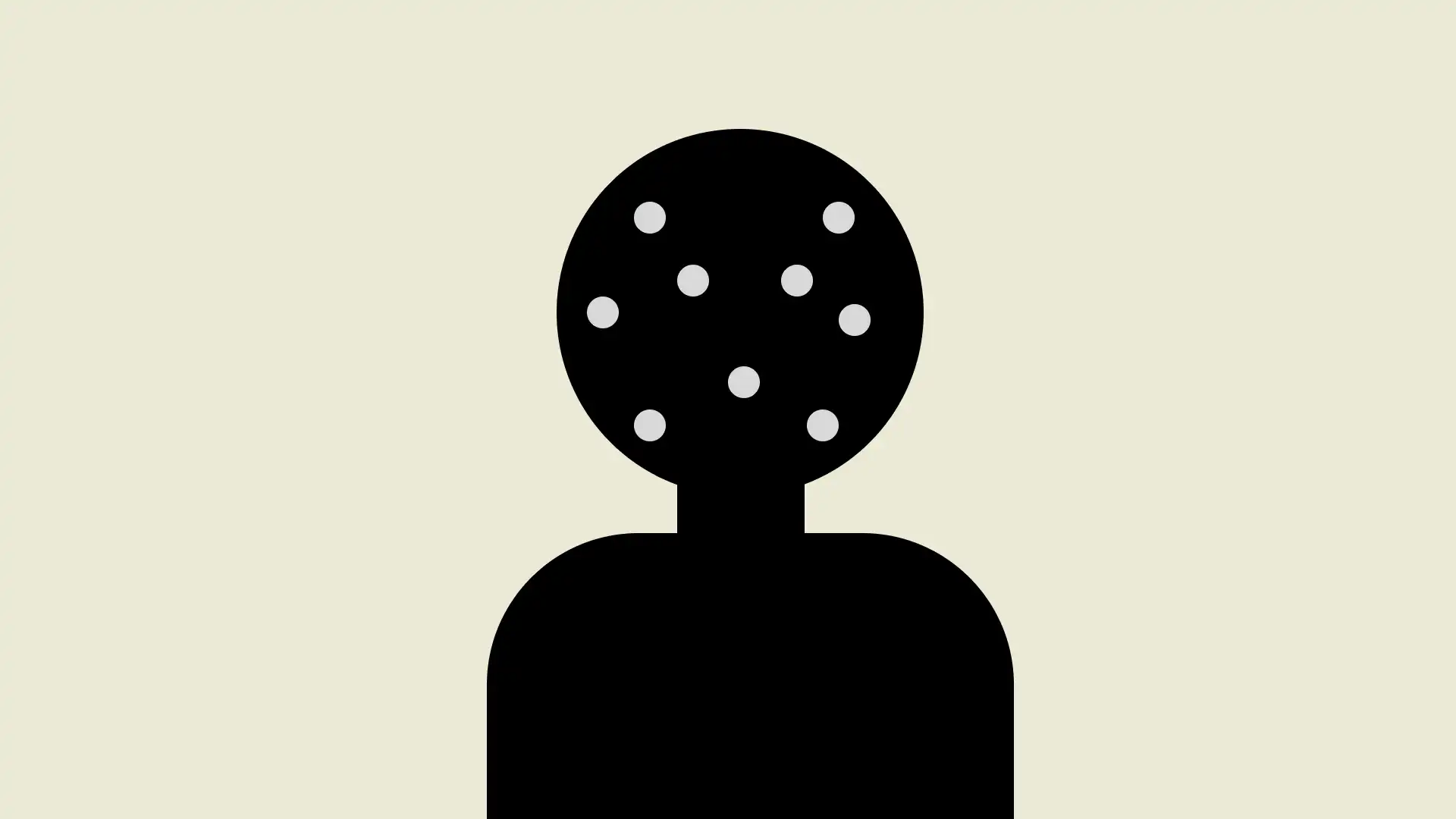
The installation translates gathered data into a tangible interaction: visitors scan in, are denied entry, and experience an invisible, algorithmic form of exclusion made personal. A companion mapping website extends the installation into an actionable public resource.
Results and Website
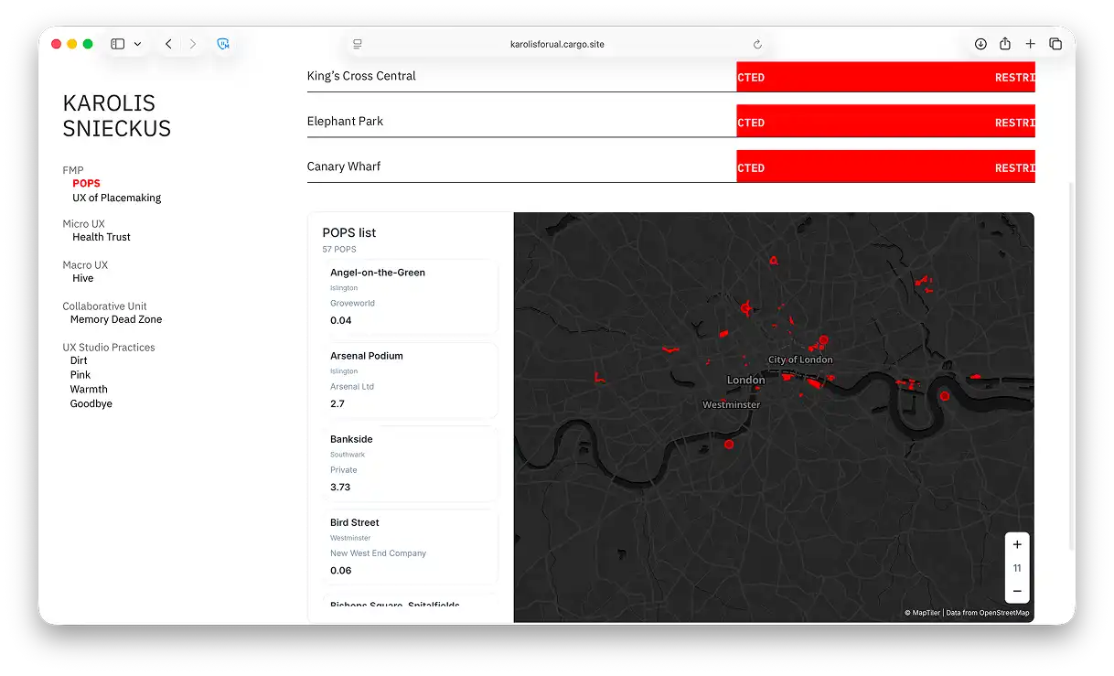
Every participant to scan their face is restricted from entering all three POPS. The results are displayed at the end alongside a QR code with further explanation and an interactive map outlining borders of 57 documented POPS sites in London.
Sound
Sound was developed as a core component of the experience rather than a placeholder element, and the visual language was informed by Ryoji Ikeda's data-driven aesthetic and Apple's Face ID interface, establishing familiarity and authority while improving the legibility of dense information.
Privacy
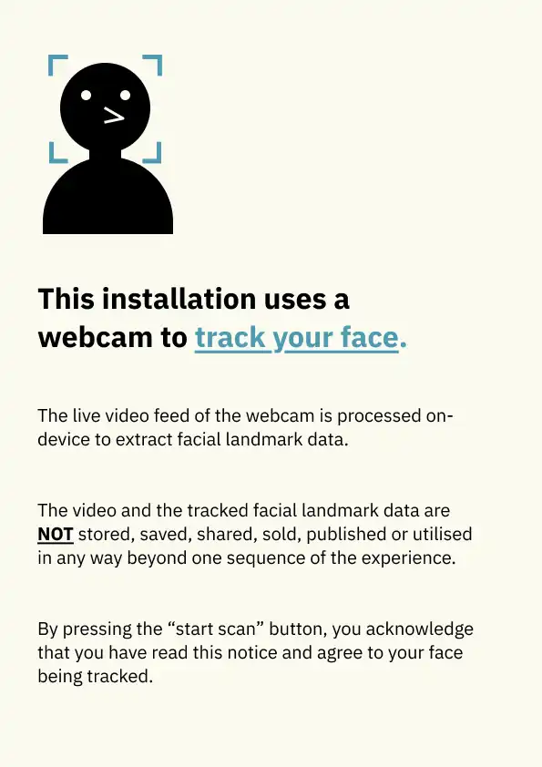
Given the use of a live camera feed, a formal risk assessment addressed consent and data misuse. Safeguards included activation only on explicit user action, local processing, no storage or transmission of footage, and immediate discarding of facial landmark data, supported by a visitor-facing information sheet to ensure transparency.
Outcome
Engagment
The 'scan' button was pressed 157 times during a 5 day period.
Post-launch observation and informal usability conversations with visitors surfaced a clear evaluative insight: the face-scan and denial interaction drove strong engagement, but the underlying POPS data layer was consistently under-noticed, with most visitors requiring light prompting to locate the QR code linking to it.
Users generally found the website and interactive map informative, with some being interested in further informing themselves about POPS.